Hayq
Map and document trees in your area, citizen science on mobile
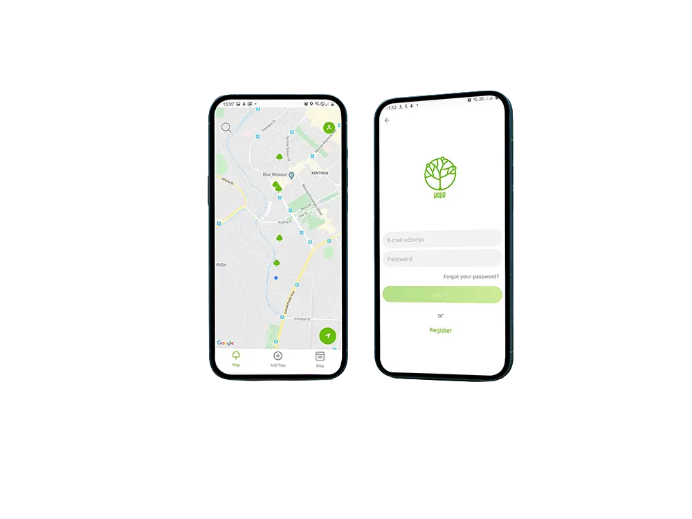
The Challenge
Communities lacked an easy way to document, map, and share local tree data. Environmental initiatives needed a mobile-first tool for citizens to contribute tree locations, species, and photos without specialized GIS skills. Hayq needed to combine live maps, user-generated content, and educational material in one intuitive experience.
Constraints & Requirements
- Interactive map with real-time tree locations and user contributions
- Photo upload and tree metadata (type, age, description)
- Cross-platform iOS and Android from a single codebase
- Clean, mobile-first UI with language selection and profile management
Our Approach
Discover
Engaged environmental groups and citizen scientists to define contribution flows, map UX, and content needs.
Design
Map-first interface with contribution wizard, profile screens, and blog-style educational content. Mobile-first layouts.
Build
React Native for iOS and Android. Google Maps integration for geolocation and live map. Backend APIs for user content and auth.
Launch
Released on App Store and Play Store. Onboarded early adopters and iterated on contribution flow.
Iterate
Added gamification, achievement badges, and community challenges for engagement.
The Solution
Cross-platform React Native app with Google Maps for tree mapping, user-contributed entries with photos and metadata, profile management, and environmental education content.